Get a quote now
Fill out the form with your project details.
We operate throughout Italy: our team will review your request and get back to you within 24 hours.
Georadar Surveys
High-precision subsurface analysis to detect utilities, cavities, and unexploded ordnance with complete safety and no invasive digging.
AWARE PLANNING


MEASURABLE RESULTS
MAXIMUM SAFETY
This website has
a low carbon
footprint.

We identify underground utilities and subsurface risks to support safe and efficient planning.
High-precision subsurface analysis to detect cavities and anomalies without invasive excavation.
Measurable, traceable data, with georeferenced deliverables usable in GIS, CAD, and BIM environments.
This page emits 0.16g of CO₂ per visit.
Learn more on Website Carbon.
Comprehensive Subsurface Mapping
Offices:
Via Monte Napoleone 8, 20121 Milan (MI)
Via Pasquale De Virgilii 2, 66100 Chieti (CH)
FOR FURTHER INFORMATION
Tel.: +39 388 10 79 439
E-mail: info.it@netf.eu
VAT No.: 10397120964
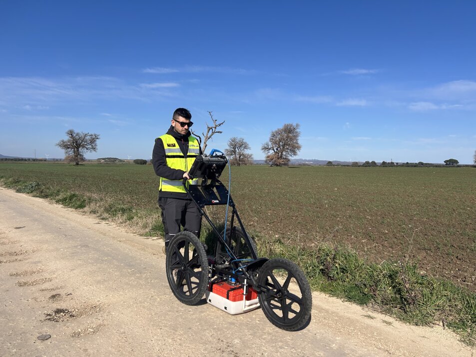
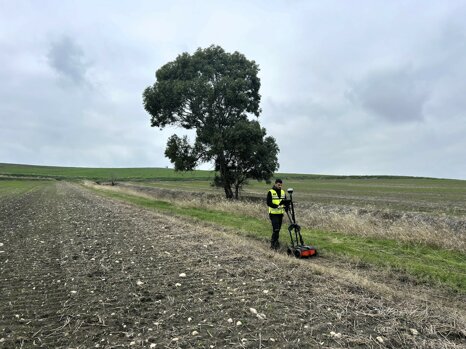
We use Ground Penetrating Radar (GPR) to carry out high-precision, non-destructive subsurface surveys, essential for locating underground utilities such as pipes, cables, and conduits, as well as identifying underground cavities and potential unexploded ordnance (UXO).
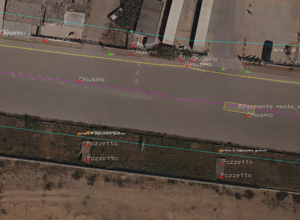
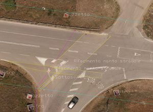
GPR makes it possible to analyze ground characteristics at depth without invasive excavation, providing a detailed, georeferenced representation that supports the planning of works, construction sites, and infrastructure.
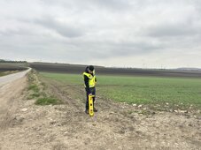
In support of this, we also use a utility locator, a technology based on electronic instruments that detect the electromagnetic signals emitted by buried cables and pipelines. This fast and effective method enables preliminary localization, helping to prevent damage during excavation and improve operational safety.
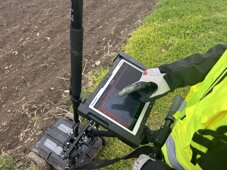
All collected data can be integrated into GIS, CAD, and BIM environments, providing a solid information base for the design, construction, and maintenance of assets.
Our surveys are applicable across a wide range of contexts, including:
- Wind farms, photovoltaic plants, and BESS
- Road and railway construction sites
- Urban and industrial areas
- Warfare-risk or historical-archaeological sites
- Ports, airports, and industrial facilities
- Civil infrastructures and utility networks
Advanced analysis
.png)
In this video, we showcase the data acquisition and analysis process, essential for accurate planning and targeted interventions.
Thanks to Ground Penetrating Radar and Utility Locators, it's possible to detect cables, pipes, and other underground structures without invasive digging, significantly reducing costs and intervention time.
The integration of data into CAD, GIS, and BIM systems ensures an optimized workflow for every project.
Non-Invasive Survey Benefits
The combined use of GPR and Utility Locators enables the precise detection of underground utilities, cavities, and unexploded ordnance without invasive digging, offering a range of tangible benefits:
- Safety: reduced risk of damage during excavation, protection of workers and existing infrastructure.
- Efficiency: fast surveys and uninterrupted operations, with drastically reduced time and costs.
- Precision: detailed, georeferenced data for more reliable technical planning.
- Versatility: suitable for all types of terrain and contexts, including complex or critical areas.
- Digital Integration: output fully compatible with CAD, GIS, and BIM systems.
- Sustainability: minimal environmental impact thanks to the absence of exploratory digging.
A modern, safe, and efficient solution for subsurface management, ideal for infrastructures, facilities, and construction sites at any stage of the design cycle.
Photo Gallery
