Get a quote now
Fill out the form with your project details.
We operate throughout Italy: our team will review your request and get back to you within 24 hours.
Surveys and Mapping
High-precision surveys and mapping using aerial photogrammetry, LiDAR, and multispectral sensors to produce metric data, 3D models, and detailed maps for GIS, CAD, and BIM environments.

GIS, CAD & BIM MODELING
READY-TO-USE DELIVERABLES


RELIABLE AND VERIFIABLE DATA
This website has
a low carbon
footprint.

Point clouds, orthophotos, DEMs, and 3D models already structured and ready for use in design, verification, and documentation.
We transform surveys into technical deliverables and models within GIS, CAD, and BIM environments.
Quality control on data acquisition and processing to ensure consistent, traceable, and usable results.
This page emits 0.16g of CO₂ per visit.
Learn more on Website Carbon.
New standards of precision
Offices:
Via Monte Napoleone 8, 20121 Milan (MI)
Via Pasquale De Virgilii 2, 66100 Chieti (CH)
FOR FURTHER INFORMATION
Tel.: +39 388 10 79 439
E-mail: info.it@netf.eu
VAT No.: 10397120964
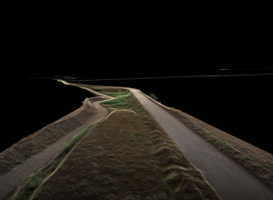
We specialize in high-precision topographic surveys and digital mapping, delivered through the combined use of aerial photogrammetry, LiDAR (Light Detection and Ranging), and multispectral sensors, selected according to the site characteristics, project objectives, and operating conditions. This technological flexibility allows us to capture reliable data quickly and safely, with minimal impact on the surrounding environment.
We provide accurate, high-resolution geospatial data, including point clouds, digital elevation models (DEMs), contour lines, and orthophotos, essential for preliminary and detailed design, geotechnical analyses, environmental modeling, and land-use planning. The quality and density of the data we acquire enable us to meet high standards even in the most complex settings.
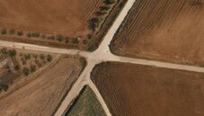
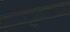
Our team directly handles 3D modeling and technical deliverables of survey data within GIS, CAD, and BIM environments, transforming acquired data into outputs and models ready for use in design and engineering workflows. We provide concrete support for verification, control, and documentation activities, delivering reliable, accurate, ready-to-use data.
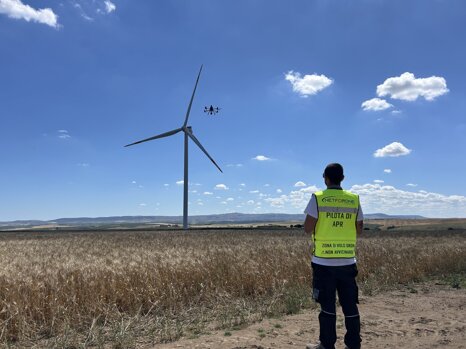
Our surveys are applied across several strategic sectors: wind and photovoltaic plants, BESS (Battery Energy Storage Systems), high- and medium-voltage power lines, road and railway infrastructure, industrial facilities, utility networks, and complex civil works. The accuracy of the collected data adds value from the earliest phases of analysis, feasibility studies, and detailed design.
We also support hydrogeological risk monitoring and analysis, providing detailed geospatial data for the study and mapping of landslides, ground movement, and soil instability, including in hard-to-access areas. Our surveys are a valuable tool for public authorities, designers, and geologists involved in risk prevention and mitigation planning.
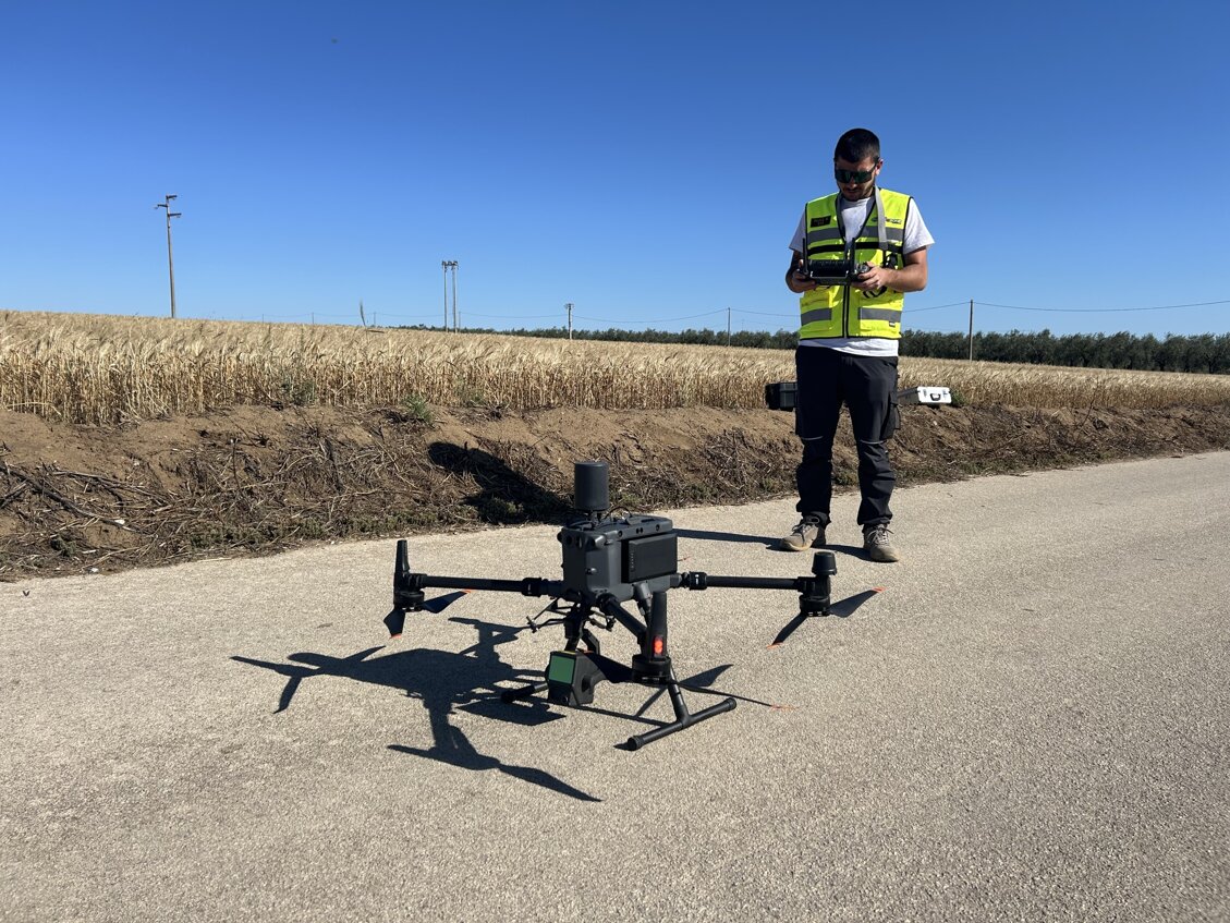
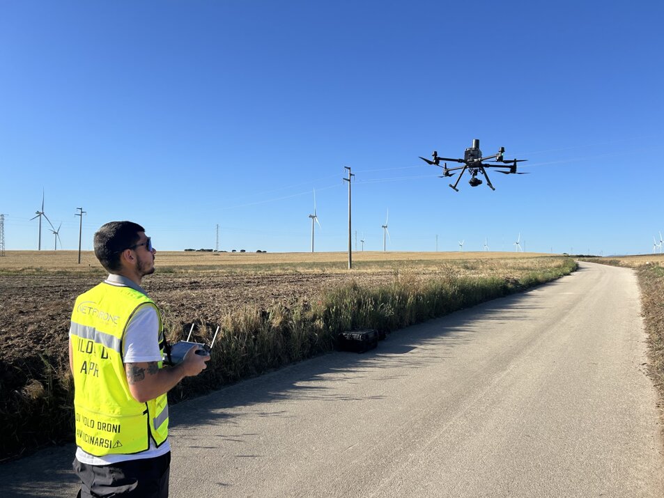
Thanks to the use of industrial-grade drones and advanced methodologies, we can operate effectively in difficult-to-access areas as well as confined spaces, ensuring high safety standards, reduced survey times, and maximum operational efficiency. We deliver tailored solutions for every technical requirement, adapting to each project’s specific needs with expertise, flexibility, and an integrated approach.
Our experience in topographic surveys
.png)
In this video, we showcase the operational phases of a topographic survey carried out using our state-of-the-art equipment.
From field operations to data processing in CAD environments, we ensure precision and efficiency in every project.
Thanks to the integration of aerial photogrammetry and LiDAR, we achieve a detailed view of the terrain, supporting civil engineering, infrastructure, renewable energy, and planning activities.
Surveys you can
rely on
We provide topographic surveys and digital mapping, transforming complex data into reliable information that is immediately usable for design, verification, and planning. For this reason, we have structured our service to deliver concrete benefits at every project stage:
- Ready-to-use data: point clouds, orthophotos, profiles, sections, DEMs, and 3D models in GIS, CAD, and BIM environments.
- Integrated technologies: aerial photogrammetry, LiDAR, and multispectral sensors, selected according to the operational context.
- Quality control at every stage: acquisition and processing verified to ensure consistent, traceable results.
- Single technical point of contact: from survey planning to final deliverables.
- Operations in complex environments: hard-to-access areas, confined spaces, and critical sites, with full operational safety.
- Tailored solutions: deliverables and models adapted to the real objectives of the project.
The result is precise, reliable, and immediately integrable data, capable of reducing time, uncertainty, and costs during decision-making and design phases.
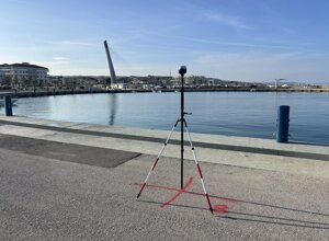
Photo Gallery
.jpeg)
.jpeg)
.jpeg)

